Listing status
To be confirmedGeneral location, cenote type and characteristics currently available in the catalogue.
A mapped sinkhole approximately 4 km northeast of Kopomá. No reliable evidence of tourism use was found.
Acceso, propiedad, seguridad y estado operativo no verificados.
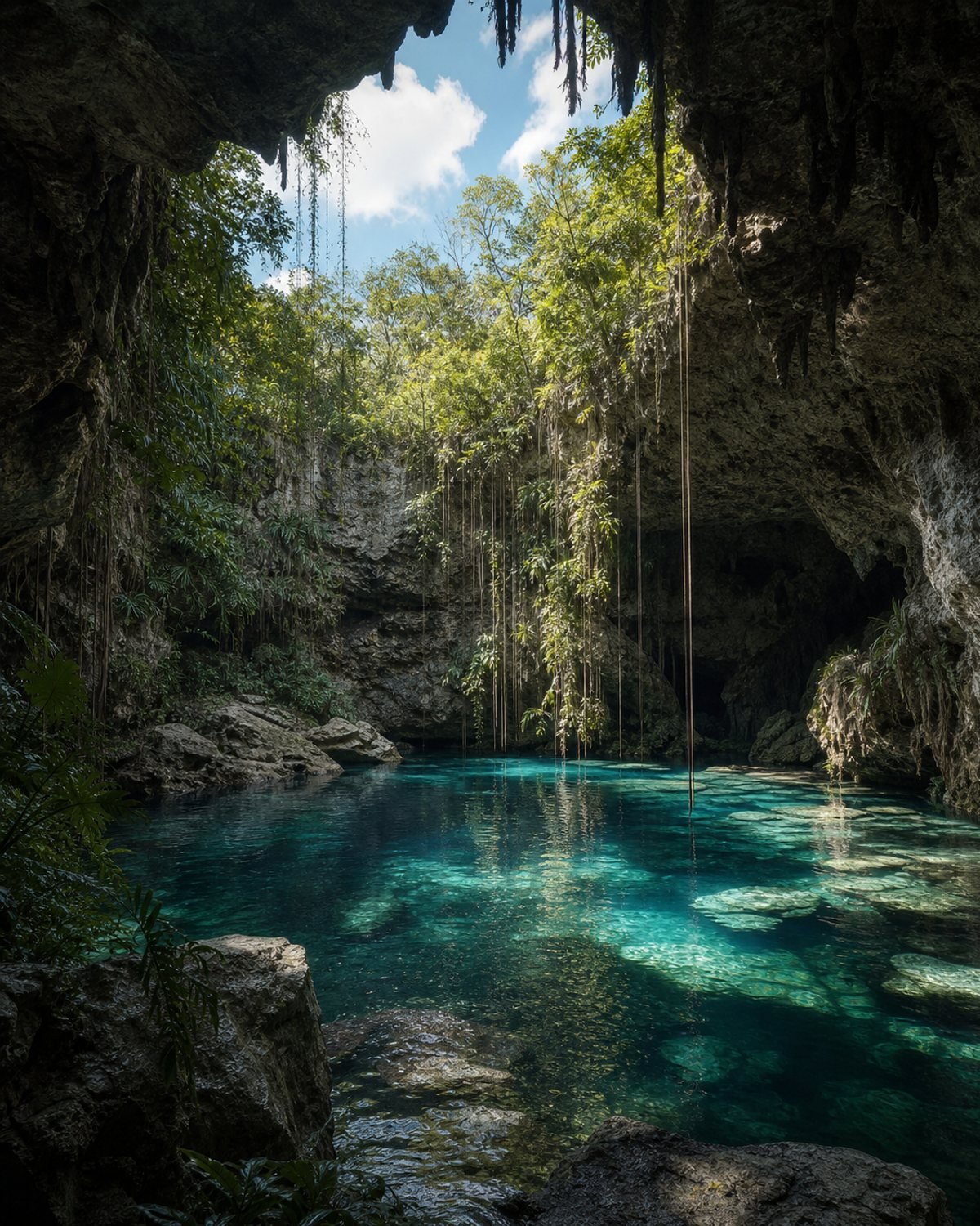
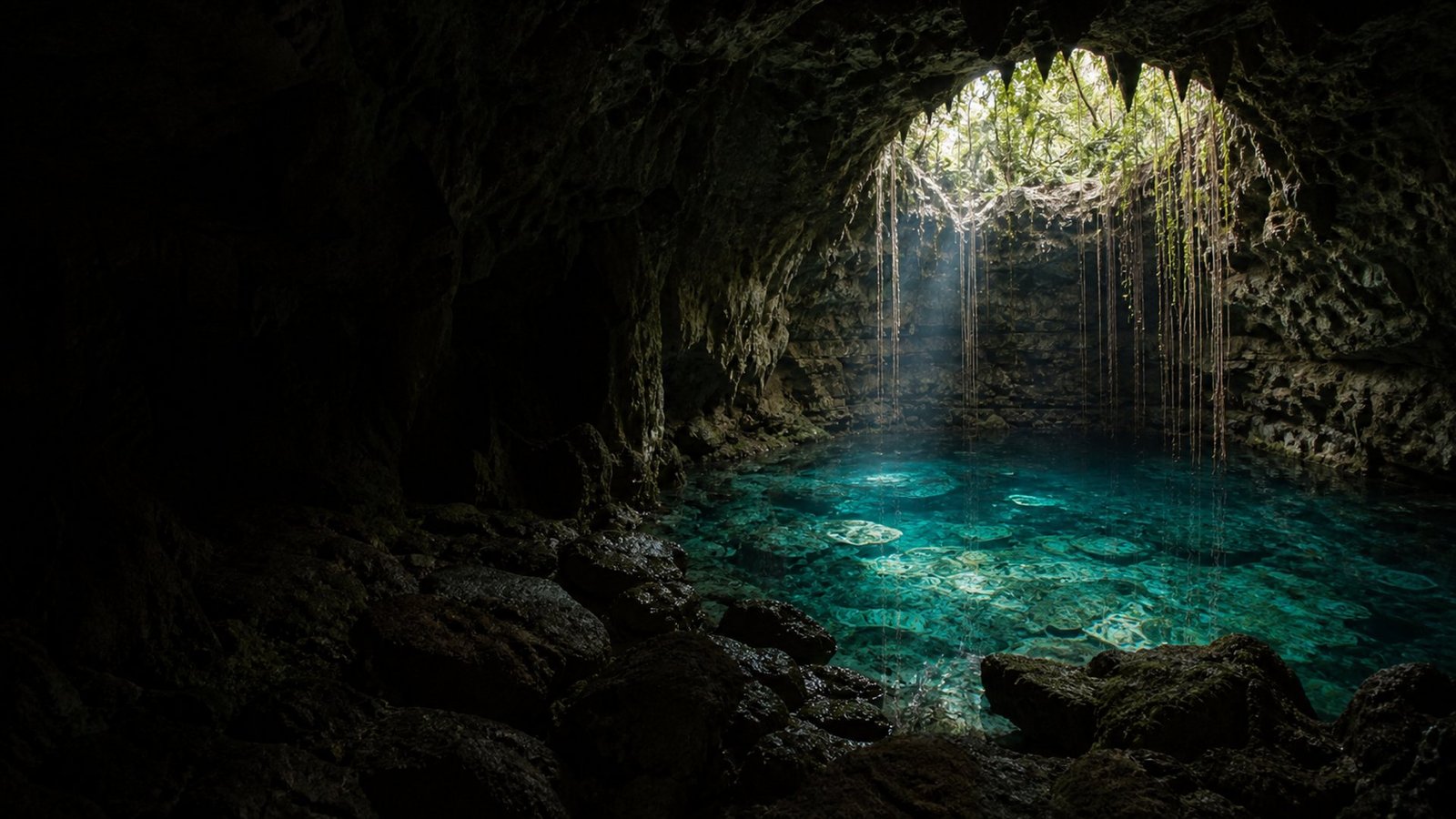
Concept references of the setting; they will be replaced with verified photographs of the site.

Osito is in the municipality of Kopomá. Use the map to understand the area, then open directions to navigate.
General location, cenote type and characteristics currently available in the catalogue.
Acceso, propiedad, seguridad y estado operativo no verificados.
Prepare your visit →Do you have updated information? Your contribution helps the next visitor.
Report a change →A cenote is part of the Yucatán aquifer. Wear a life jacket where required, avoid polluting products and follow local guidance.
Read the responsible visit guide →