Listing status
Verified data · Jul 16, 2026General location, cenote type and characteristics currently available in the catalogue.
Also known as Tza-Itzá / Tza Itza
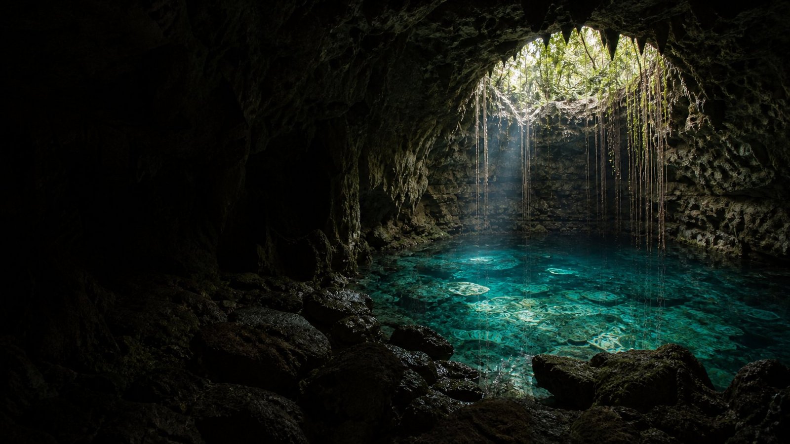
An enclosed cenote inside a cave, with side access, a pool measuring approximately 7.8 by 10.5 m, a maximum depth of 40 m and a submerged cavern.
Sitio profundo y de infraestructura limitada; confirmar condiciones de acceso y seguridad antes de nadar o bucear.
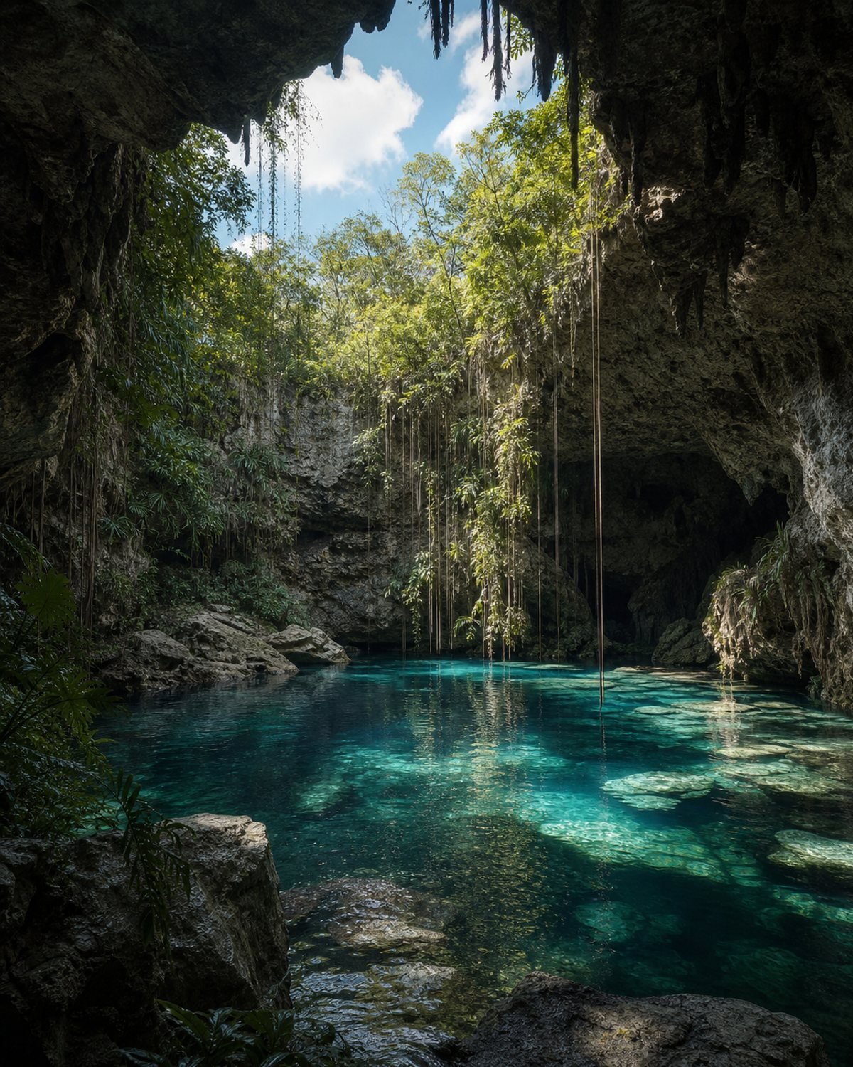
Concept references of the setting; they will be replaced with verified photographs of the site.

Tza Itzá is in the municipality of Tecoh. Use the map to understand the area, then open directions to navigate.
General location, cenote type and characteristics currently available in the catalogue.
Sitio profundo y de infraestructura limitada; confirmar condiciones de acceso y seguridad antes de nadar o bucear.
Prepare your visit →Do you have updated information? Your contribution helps the next visitor.
Report a change →A cenote is part of the Yucatán aquifer. Wear a life jacket where required, avoid polluting products and follow local guidance.
Read the responsible visit guide →