First, there was a sea
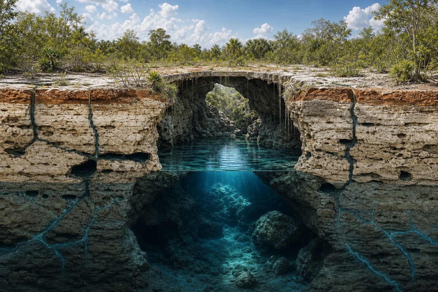
The Yucatán Peninsula is a vast carbonate platform. Its rock layers formed from marine sediments accumulated over millions of years. The result is a very flat, permeable landscape with little water flowing across its surface.
Here, rainfall tends to infiltrate. Instead of gathering into large surface rivers, it travels through pores, joints and fractures to recharge the aquifer. This relationship between soluble rock and water creates a karst landscape: caves, conduits, depressions and cenotes connected underground.
Slow but persistent chemistry
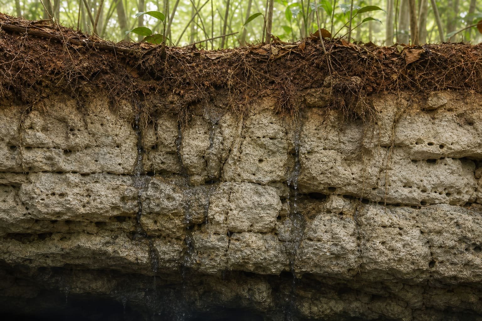
As water crosses the atmosphere and soil, it takes in carbon dioxide. This makes it slightly acidic and able to dissolve calcite, the main mineral in limestone. It does not drill through rock at once; it repeats the same reaction over geological time.
Each passage of water enlarges existing discontinuities a little. Given enough time, fissures become channels; channels join; underground space grows. Where the cavity reaches the water table, it becomes partly or completely flooded.
From pore to landscape
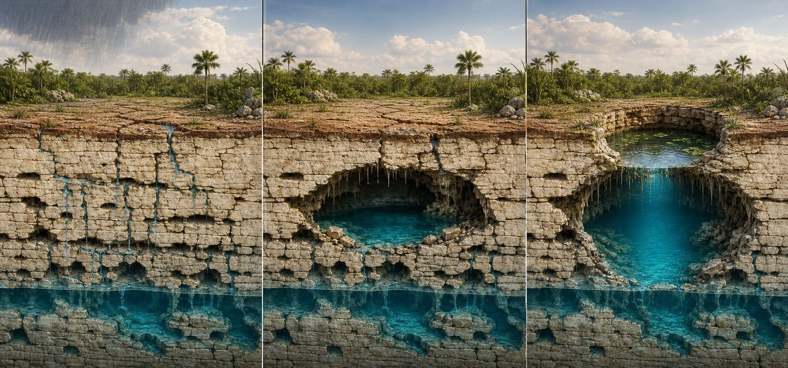
The image summarises one possible evolution. Cenotes do not all follow exactly the same shape or pace: fracturing, groundwater level, rainfall and rock thickness vary from place to place.
Open, semi-open or underground?
What we see depends on how much roof remains and how the cavity has evolved. A cenote may be fully covered, open within a cavern, retain part of its vault or lie exposed to the sky.
These categories help describe access and light, but they are not a perfect clock. Two cenotes of the same “type” can have different geological histories and very different visiting conditions.
The opening is only the visible part
The same water system can circulate beneath different cenotes. What enters one opening, or infiltrates from the surface, does not necessarily remain there. Protecting a cenote means protecting the aquifer on which communities, ecosystems and human activities depend.